
What is a Shapefile?
Shapefiles were introduced by ESRI (Environmental Systems Research Institute) as a way to package up not only data (like what is contained in a CSV file imported into SpatialKey) but also geographic information (beyond a single point of latitude and longitude). This geographic information is visualized within SpatialKey as polygons that can be used for filtering.
Please see the Shapefile Wikipedia page for more information.
Where do Shapefiles come from?
Shapefiles are typically exported from a system that they were originally set up within for use in other systems. If your organization has an existing geospatial system it may have the capability of producing these files that can be then loaded into SpatialKey. Within SpatialKey the loaded data will be available as a dataset for use in filtering and visualizing the geographic features.
What is required to load Shapefiles into SpatialKey?
In order to successfully import Shapefile data into SpatialKey the following criteria must be met:
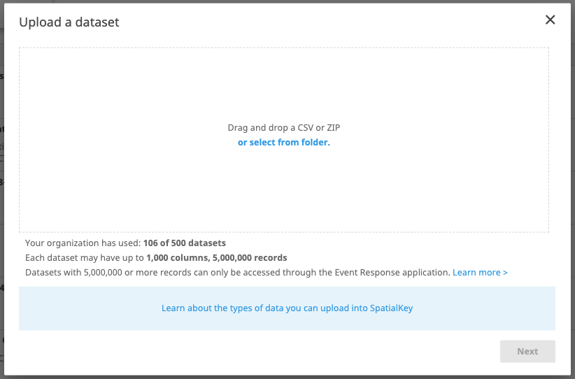
- The individual files should be contained within a Zip file.
- The total size of the Zip file should not exceed the limitations for your organization. Limitations can be found in the main screen of the Data Upload Wizard in SpatialKey. For tips on determining a shapefiles actual size relative to how well it will work in SpatialKey, check out this article.
- One of each of the following file types must be present within the Zip file (required files):
- .shp – the shape format file (contains the geographic (feature) data)
- .shx – the shape index file
- .dbf – the attribute (extended data) file
- Other Shapefile types may be present as well (may or may not be used by SpatialKey depending on type and purpose) within the Zip file.
Other Shapefile Notes as they Pertain to SpatialKey
- If the .prj (spatial projection file) is not present SpatialKey will assume that the geographic data is already in latitude/longitude format (SRID 4326). If the .prj file is present then the data will be properly adapted from the provided State/Plane projection.
- If after loading your Shapefile data the geographic features are not showing in the correct locations, check to ensure that a .prj projection file was included within the Zip file uploaded and that the well-known-text within the file is correct.
- Shapefile data can be extremely detailed in its geographic fidelity. In some cases a single geographic feature can contain hundreds of thousands of individual points. When creating reports against large datasets and filtering with features containing thousands of points performance of the system can degrade. This effects not only the user’s report that is requesting the data but also anyone that may be using that database at the same time. The SpatialKey team has put in a great amount of work to providing an easy to use and performant implementation of feature (polygon) filtering but there are still limitations that must be managed. To assist in making the application as performant as possible, geographic features containing more than 30 points will have a polygon simplification routine run against them reducing the total number of points within the polygon at import time. This process may cause a slight loss of fidelity but in most cases is not statistically significant to data results. If you have any concerns or issues with polygon simplification causing incorrect data results please contact us.