
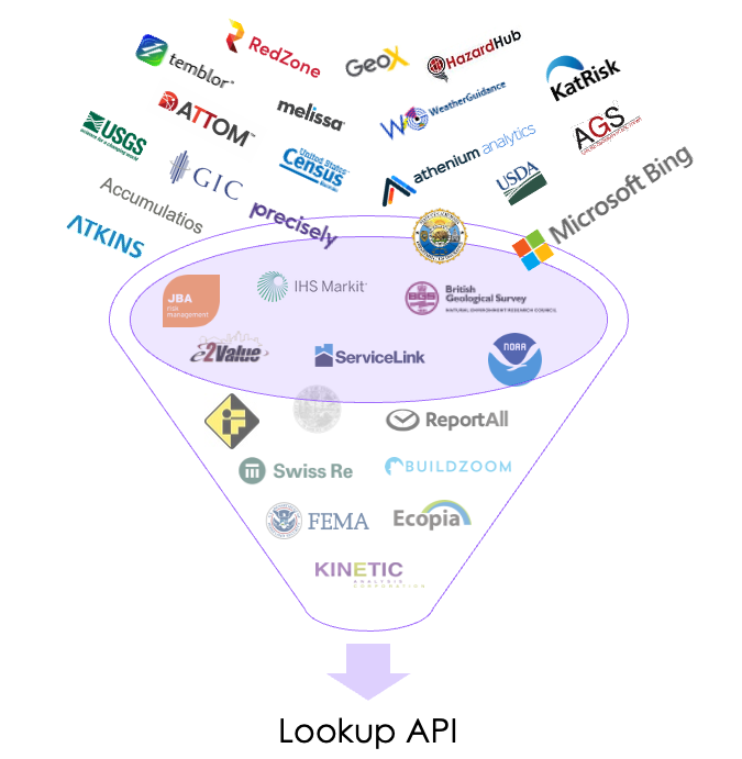
The Lookup APIs allow you to run a single location or batch of locations against a variety of hazard & property data—like flood, wildfire, hurricane, and more—with data from dozens of providers all in one API call. Additionally, you can run accumulation models if licensed by your organization.
By default, the Lookup APIs will run every model available to you. However, you can supply a list of models to run or exclude to avoid pulling data you don’t need. Models not relevant to a location’s country will be skipped automatically.
There are 2 options:
1. Single Lookup
For one location at a time.
2. Batch Lookup
For schedules with multiple locations, you can either send each location individually through the single lookup API or all at once by importing a .csv and running a batch using the Import + Lookup API.
Both methods return a dashboard link, but the batch dashboard includes a summary view of all locations, along with tools to quickly filter results and focus on exceptions.
| Feature | Single | Batch |
|---|---|---|
| Geocoding | ✅ | ✅ |
| Geocoding returns lat/long & standardized address | ✅ | – |
| Hazard scores & property characteristics | ✅ | ✅ |
| Accumulations | ✅ | ✅ |
| Dashboard link | ✅ | ✅ |
| PDF Report link | ✅ | – |
| Results in JSON format | ✅ | ✅ |
| Results in .CSV format | – | ✅ |
We combine dozens of reports & geocoding into a single call plus:
- Proactively monitor performance
- Run health checks on third-party APIs every 30 minutes
- Increase performance by hosting much of the data in-house
- Identify model changes & verify results
- Use consistent field naming to ensure seamless, quality results
View all providers & coverage areas
Was this helpful?