
- Which browsers and operating systems does SpatialKey support?
-
Because SpatialKey runs in all modern web browsers, it is not tied to any particular operating system and can be used on almost any desktop or laptop computer with an Internet connection.
System requirements are as follows:
- OS: Windows 7+, Linux, Mac OS X
- Browser and version: Edge, Chrome
- CPU: Intel® Pentium® 4 or faster processor, AMD Athlon
- RAM: 1GB minimum (2GB+ recommended)
- Display: 1,024×768 minimum
- Internet connection: SpatialKey will work over mobile broadband cards but a cable or DSL connection is recommended (1Mb+ is recommended)
- Pop up blocker settings: For exports to work correctly, popup blockers should be disabled for your SpatialKey site
- PDF reader: For PDF file generation to work correctly, a PDF reader must be installed
Older version of Internet Explorer No Longer Supported
Microsoft discontinued all support and updates for Internet Explorer 8, 9 and 10 on January 12, 2016 and will discontinue support for IE 11 as of June 15, 2022. These old versions of IE will not receive any further security updates. If your organization is still running old versions of Internet Explorer please contact your IT department and upgrade immediately. - What happens if I forget my password?
-
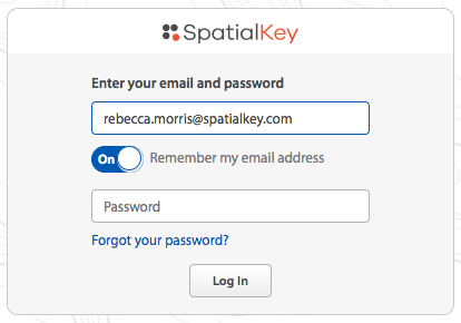
Click the “Forgot your password?” link at the bottom of the login screen. Enter your email address and click the “send me instructions” button.

You will receive an email containing a link for resetting your password. Click the link and enter your new password.
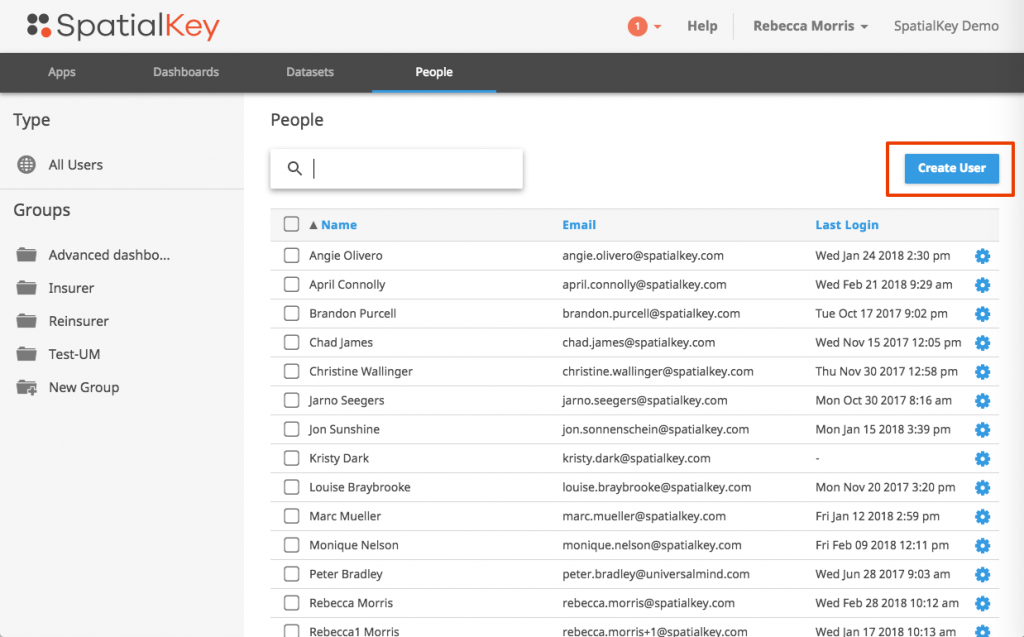
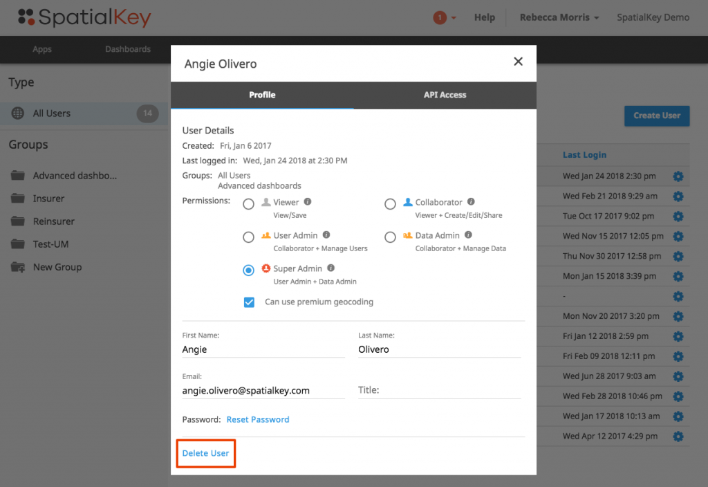
If you are resetting a password for another user, you can follow the steps above or reset the password from within SpatialKey. Find the user who needs their password reset in the People tab in SpatialKey. Enter the settings for that user and select Reset Password.

The user will receive an email containing a link for resetting their password. They can click the link and enter a new password.
- How do I add new users to my SpatialKey account?
-
Adding users is easy. You simply enter their information in the People tab of SpatialKey and they automatically receive an email with their account and login information.
- How do I remove a user from my SpatialKey account?
-
Find the user who you wish to delete in the People tab of SpatialKey. Click on the gear for that user and select Delete User at the bottom of the page.
- How do I manage my end-user licenses?
-
If you need to modify the number of users in your SpatialKey account, please contact us.
- I need to deploy SpatialKey within my organization. Do you provide deployment support?
-
SpatialKey can be deployed to an organization in minutes. If you require assistance automating your data feeds from backend systems into SpatialKey we can help you get up and running quickly with our APIs. Please contact us for more information.
- Does my subscription include upgrades and maintenance?
-
Users of SpatialKey automatically receive system upgrades as part of their subscription.
- What level of support does my subscription include?
-
SpatialKey comes with free access to all web-based support materials and a 24-hour response time during the business week for all email or phone support requests. Custom support packages can be established on a fee basis for organizations requiring higher support levels.
- Is my data backed up?
-
Your environment is automatically backed up on a daily basis.
- How secure is my data?
-
SpatialKey is a Software as a Service (SaaS) application built on top of the Amazon Web Services (AWS) platform. We use both the Amazon Elastic Computing Cloud (EC2) and Simple Storage Service (S3) as part of our infrastructure. An overview of the security processes taken for AWS can be found here. Additionally, all communication between the client and server is encrypted with HTTPS using SSL to prevent eavesdropping on data as it passes from the Amazon cloud to your client.
- Which release of SpatialKey is currently available?
-
SpatialKey is offered principally as a SaaS application. The software is continuously updated and as such, we don’t take a formal approach to numbering our releases.


